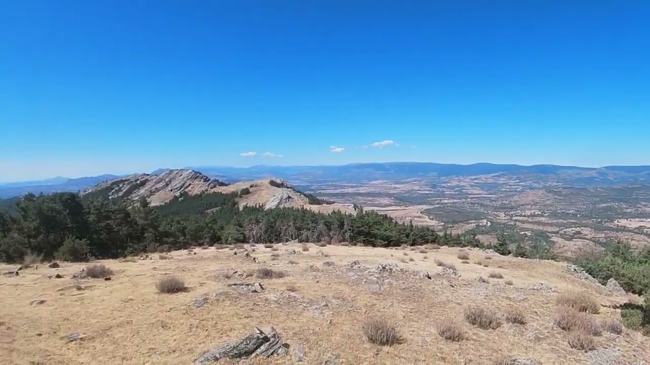
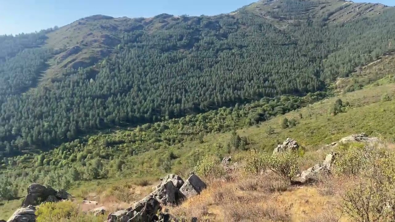
BZM Mountain Trails Sierra del Rincón is a circular route by stages of authentic MTB that runs through the Sierra Norte de Madrid, the so-called Sierra Pobre. It crosses three valleys, the Valle Bajo del Lozoya, the Sierra del Rincón and the Valle Medio del Lozoya. It has a total of 207 kms with an accumulated elevation gain of 5,600 m. It crosses picturesque locations such as El Pinarcillo de Buitrago, El Villar dam, El Collado de El Salinero, El Hayedo de Montejo, La Hiruela, El pico Tres Provincias, Puerto de Somosierra and La Acebeda.
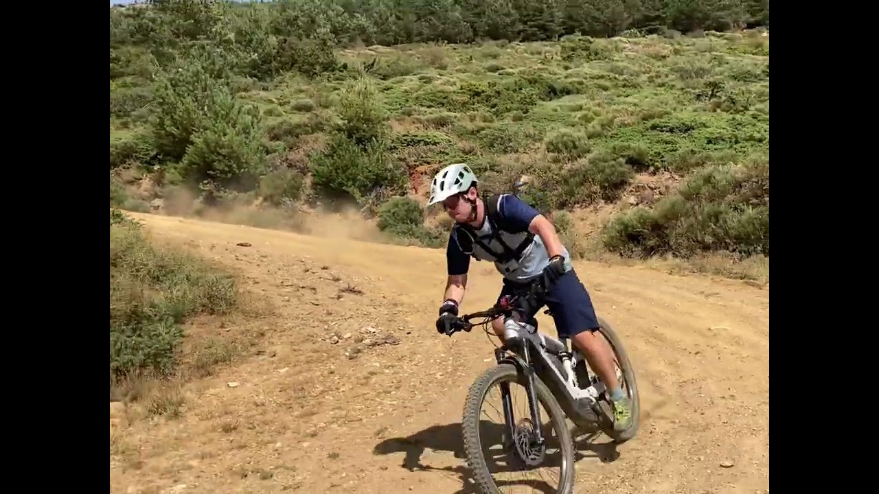
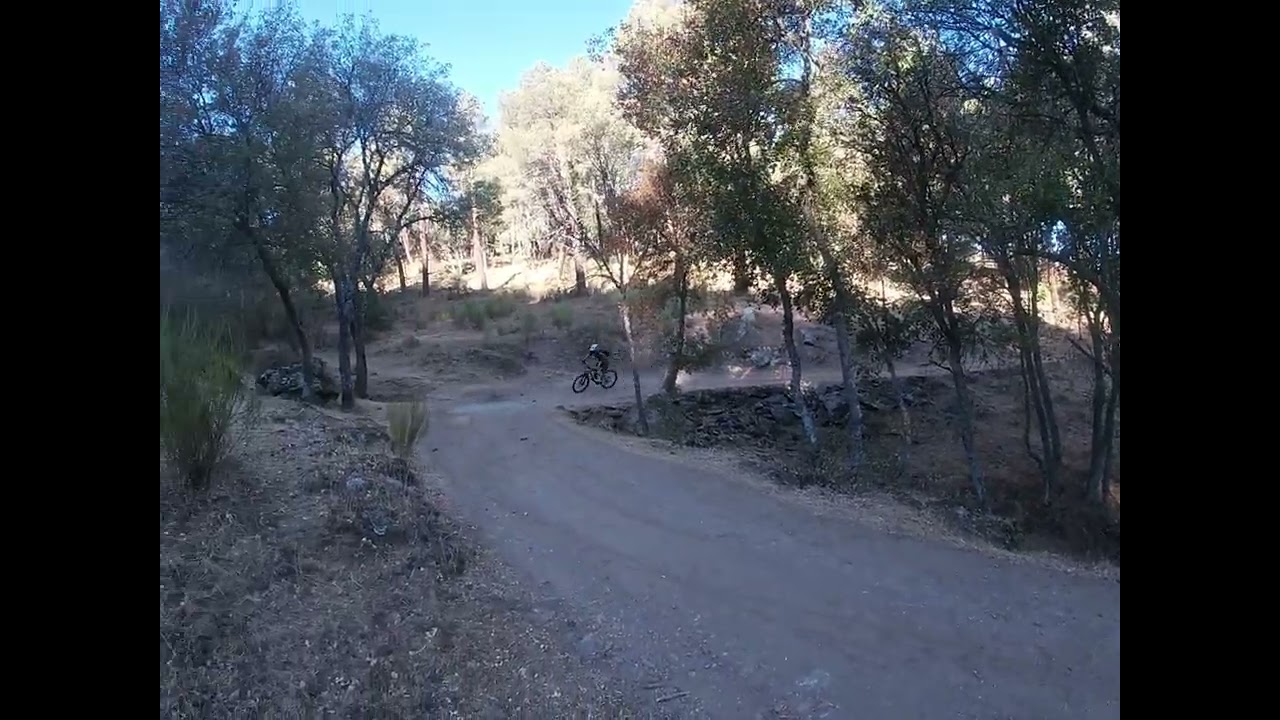
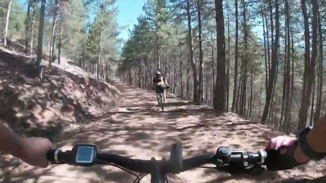
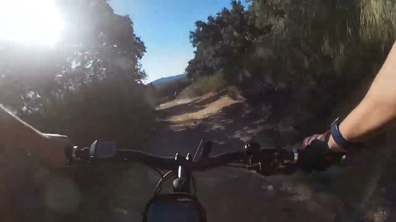
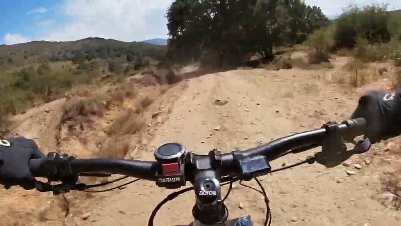
It consists of an authentic mountain biking experience, with technical and fast descends, together with challenging climbs for the more demanding climbers, passing through canyons and paths on the edge of valleys, rustic trails, tree line tunnels, rivers, high mountain sections, and some sections that may best be done on foot. The rest and rural tourism is done in remote towns worthy of the most adventurous bikers and in some less travel locations such as Puebla de la Sierra. These are the more noteworthy routes in Sierra Norte de Madrid.
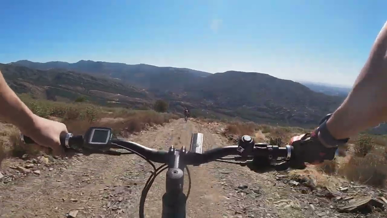
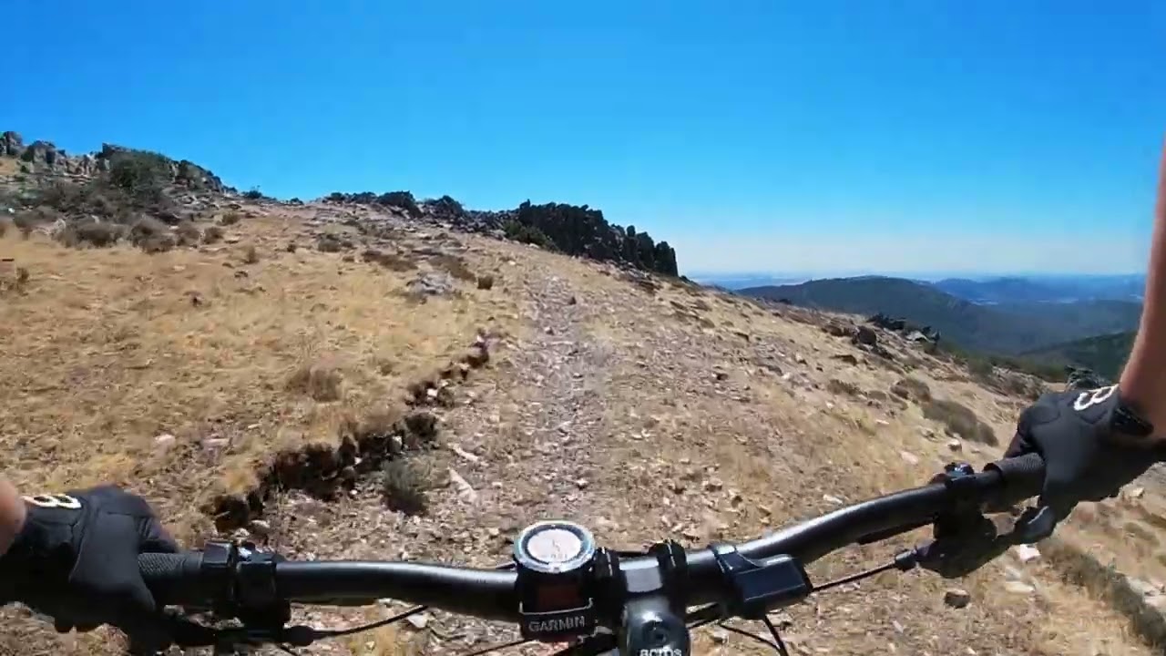
This circular route runs in the Sierra Norte de Madrid, crossing the middle and lower valleys of the Lozoya and the Sierra del Rincón. All this corresponds to the so-called Sierra Pobre de Madrid. It is a 207 km route with an accumulated elevationgain of 5,600 metres. It doesn´t have any major difficulties in navigation, it has intense climbs with demanding physical effort compensated with dreamy descends, further down the trail. It crosses moorlands and spectacular landscapes. Allowing us to enjoy great views from the tops of the valleys and canyons. It goes through tunnels of native trees along paths and tracks. It crosses through rustic and villages. It gives us a taste of authentic high mountain ridding, through the passes, the hills and the peaks of the itinerary.
STAGES
Stage 1
BUITRAGO A PUEBLA DE LA SIERRA
It is the first stage of the Route and which is is taken with emotion. It is to get your strength up and to take the measure of the area. You cann see and enjoy up to 3 dams along the way. It has twotwo different parts: 30 km through dams, forests and plains and 20 km of mountains, through hills, valleys through hills, valleys, canyons and passes..
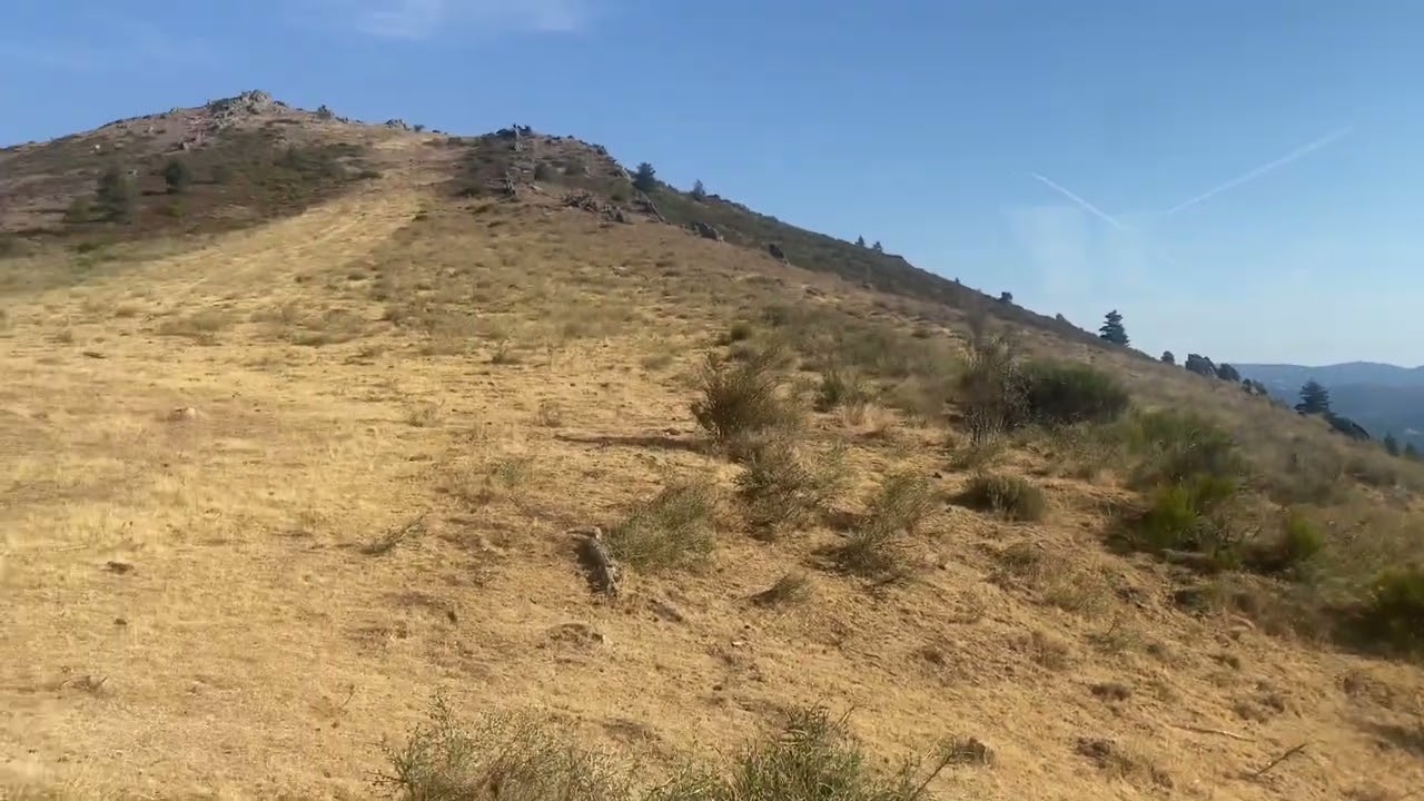
This stage starts completely in the Sierra del Rincón and runs through the most characteristic places of the area such as the Collado del Salinero and Cerro del Morro, the village of La Hiruela and its charming trails, the beech forest of Montejo de la Sierra and the Collado del Mosquito.
This stage runs in the Sierra del Rincón and ends in the Valle Medio del Lozoya. It reaches the highest peak of the route, the so-called Tres Provincias ( 2,122m), crosses the well-known Puerto de Somosierra and ends at the beginning of the "Horizontal" road to La Acebeda.
Send your details, the number of riders and select the optional services you are interested in.
[everest_form id="8178"]
Write to us!
Esta web utiliza cookies propias para su correcto funcionamiento. Contiene enlaces a sitios web de terceros con políticas de privacidad ajenas que podrás aceptar o no cuando accedas a ellos. Al hacer clic en el botón Aceptar, acepta el uso de estas tecnologías y el procesamiento de tus datos para estos propósitos.
Configurar y más información